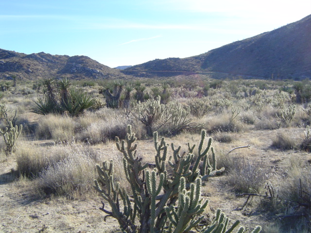
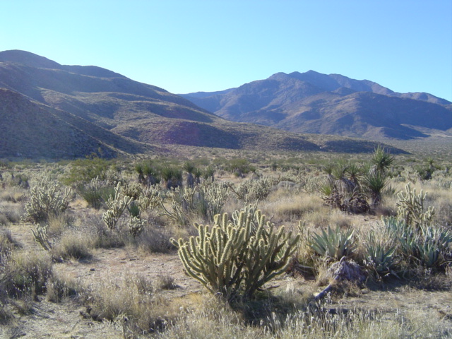
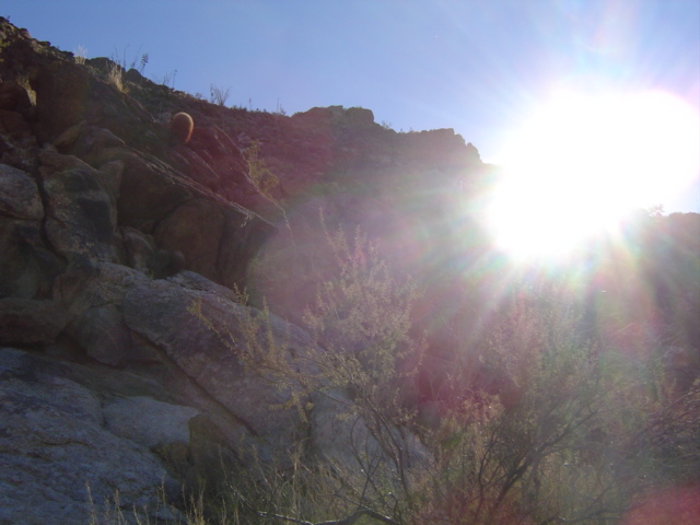
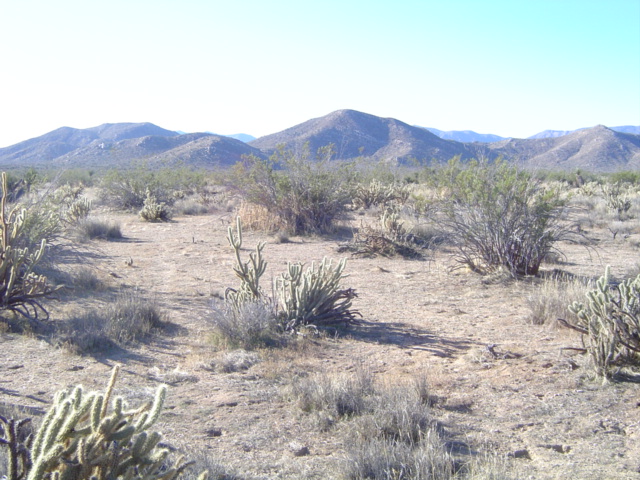
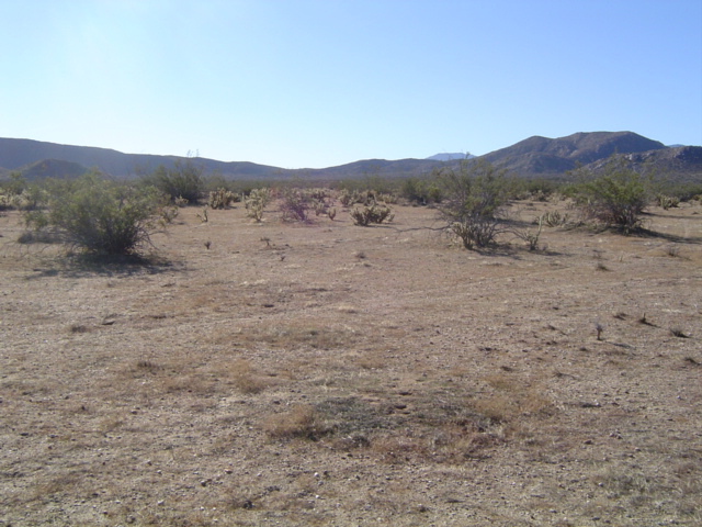
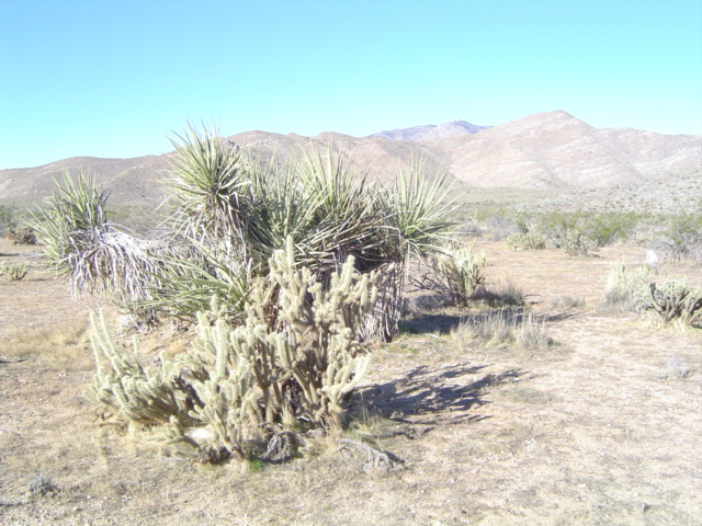
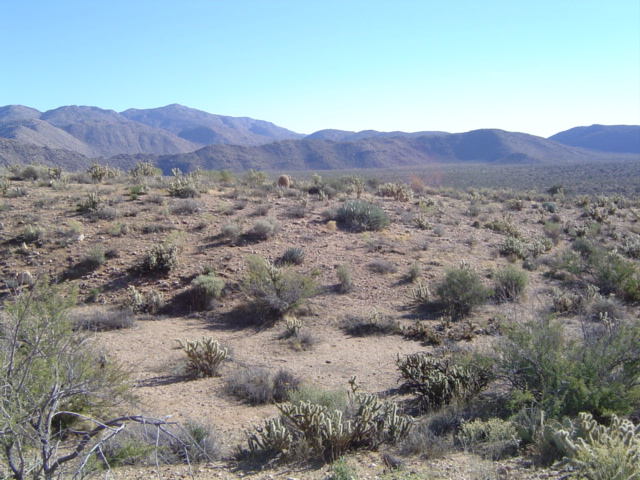
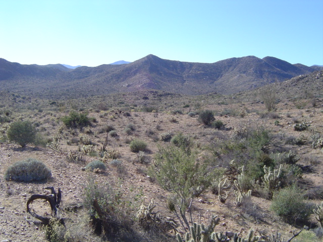
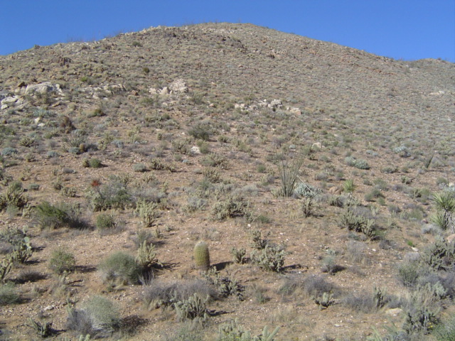
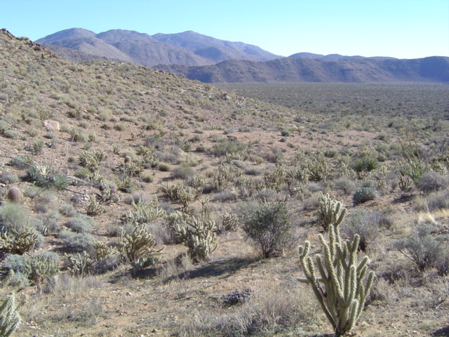
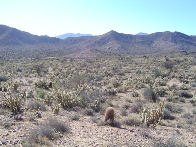
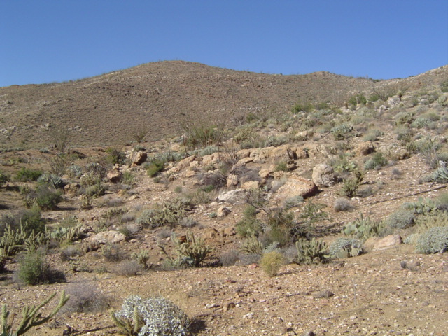
 nature pieces | maps & photos | contact The map below defines the entire area of exploration. The area is divided into four quadrants with three waypoints each. 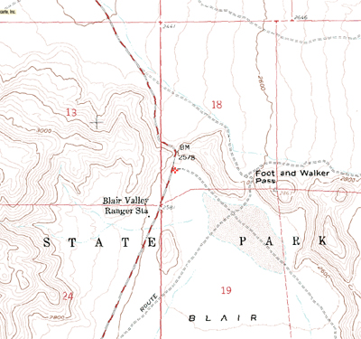 (courtesy of topozone.com) Photos At each point, I took a photograph facing each of the cardinal directions. Photographs are arranged as such: North, East, South, West. Click for the original (opens in a new window). 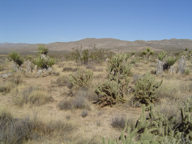
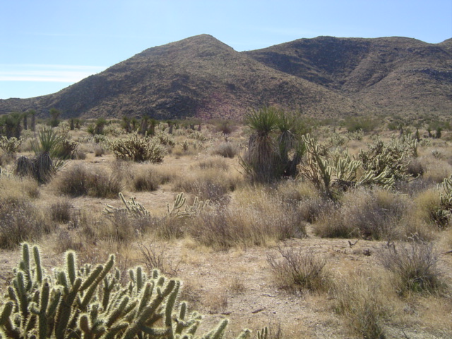
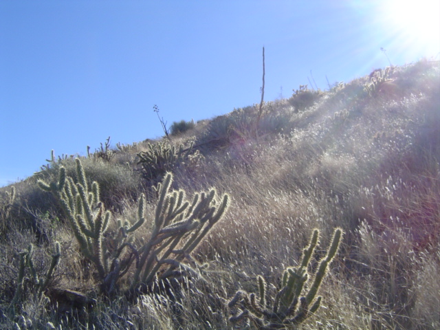
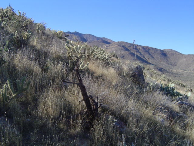
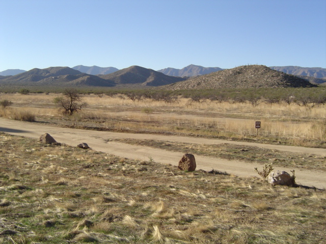
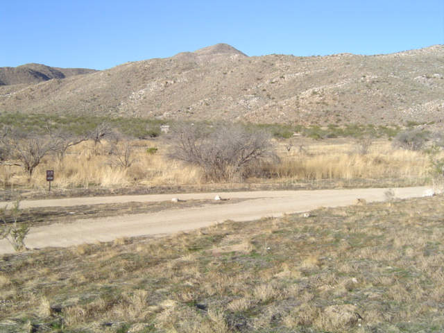
Quadrant A: Point B was not reached due to unsafe terrain. These photos were taken approx. 0.2mi away from the targeted waypoint. 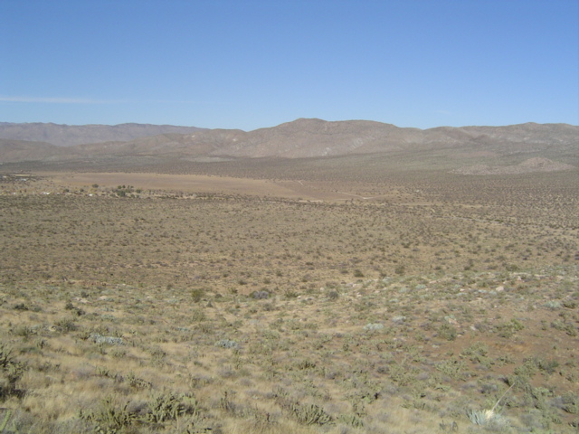
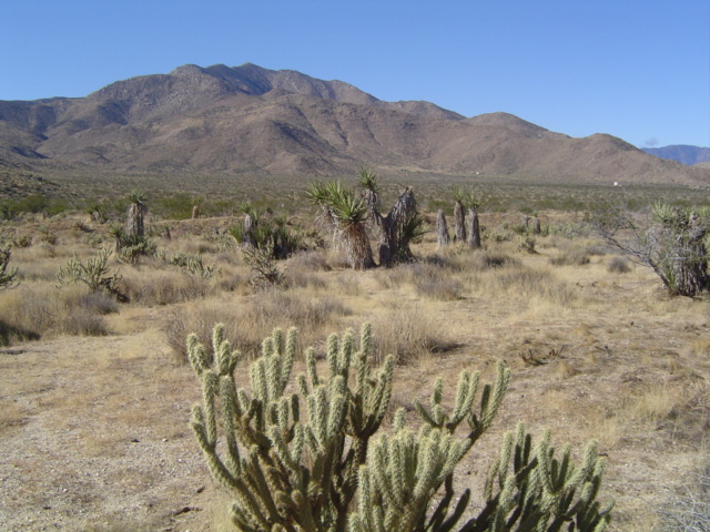
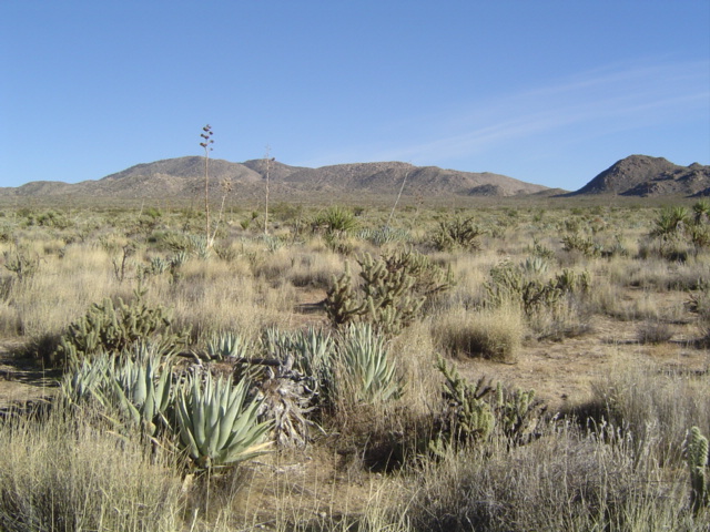
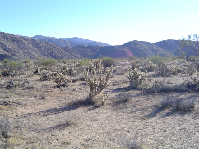
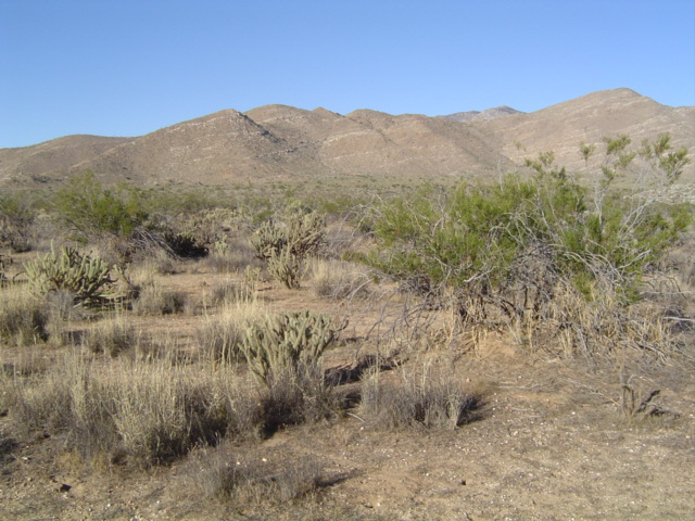
Quadrant A: Point C 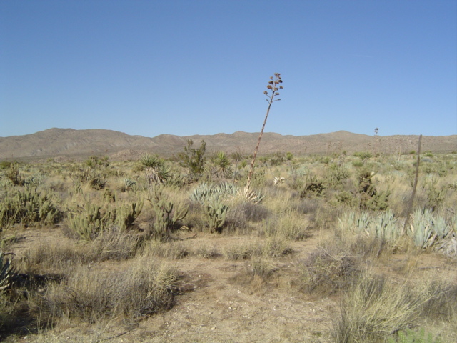
Quadrant B was left unexplored due to time constraints. Quadrant C, Point A was not reached due to unsafe terrain. These photos were taken approx. 800ft from the targeted waypoint. 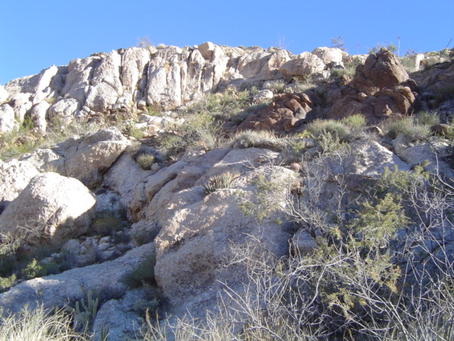
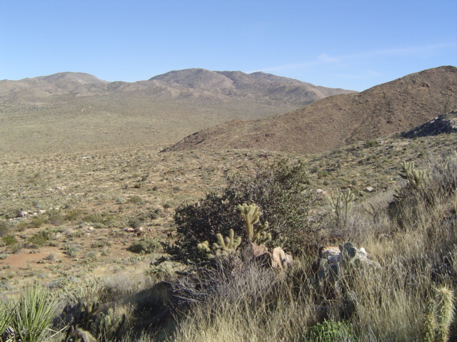
Quadrant C: Point B 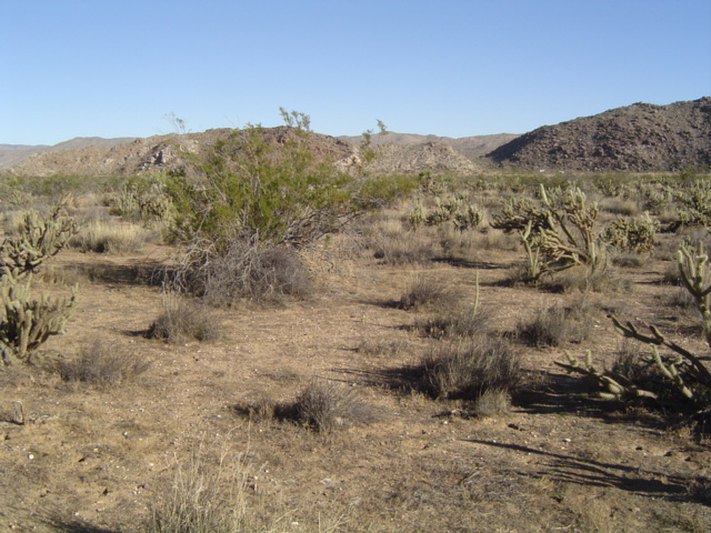
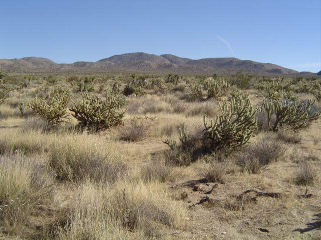
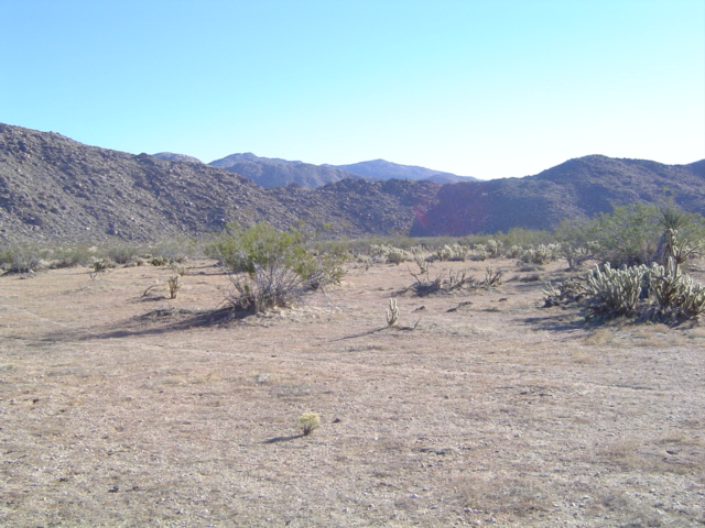
Quadrant C: Point C 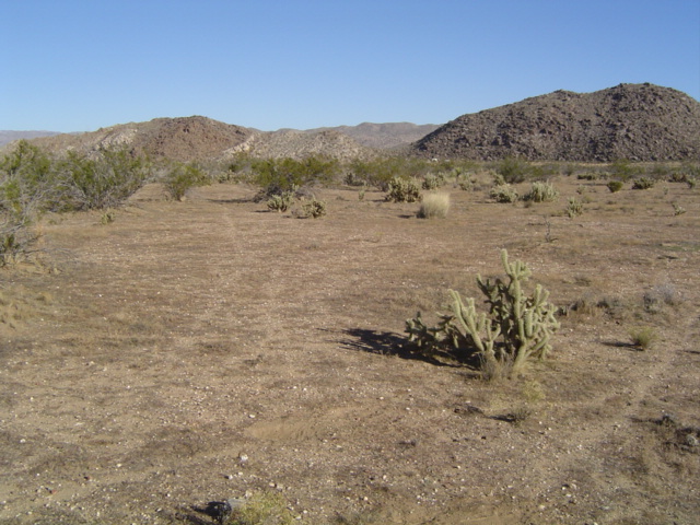
Quadrant D, Point A was not reached due to time constraints. These photos were taken approx. 0.3mi from the targeted waypoint. 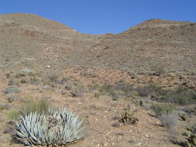
Quadrant D: Point B was not reached due to unsafe terrain/time constraints. These photos were taken approx. 0.3mi from the targeted waypoint (it looked as if it was on top/the other side of a mountain). 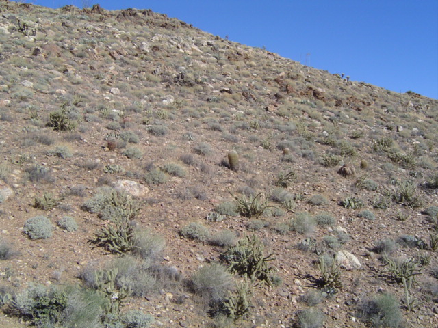
Quadrant D: Point C was not reached due to unsafe terrain/time constraints |
|
© 2005 Katherine Valdoria |